
Reimplementation · Engineering
RustGIS
Author:
Replaces: ArcGIS
Summary
ArcGIS-style mapping, spatial analysis, editing, layouts and reports in a native and browser GIS.
Description
A native and browser GIS offering ArcGIS-style ribbon workflows for mapping, editing, spatial analysis, layouts and reporting. Reads common geospatial formats and ArcGIS REST services, with scriptable commands, CLI and Python interfaces, MCP automation and WebAssembly plugins.
Repository Mirrors
No mirrors found. Contribute a mirror link ↗
Screenshots
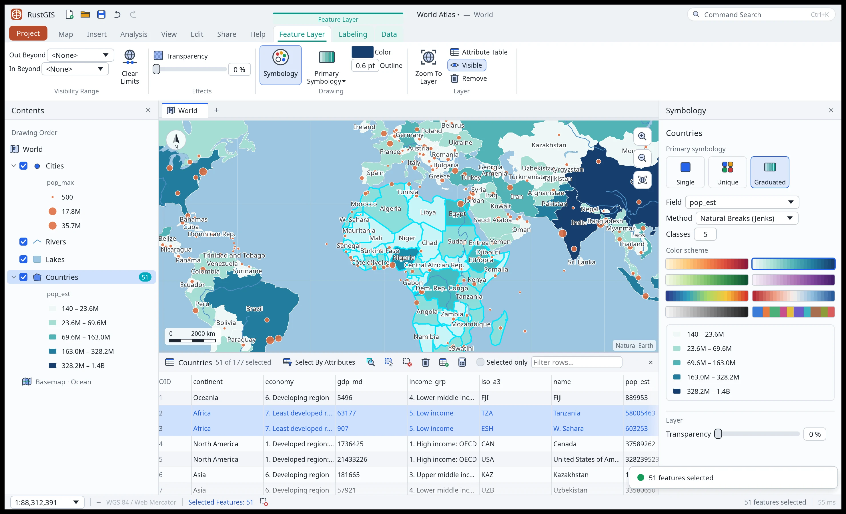 Screenshot unavailable. RustGIS: map styling and symbology controls.
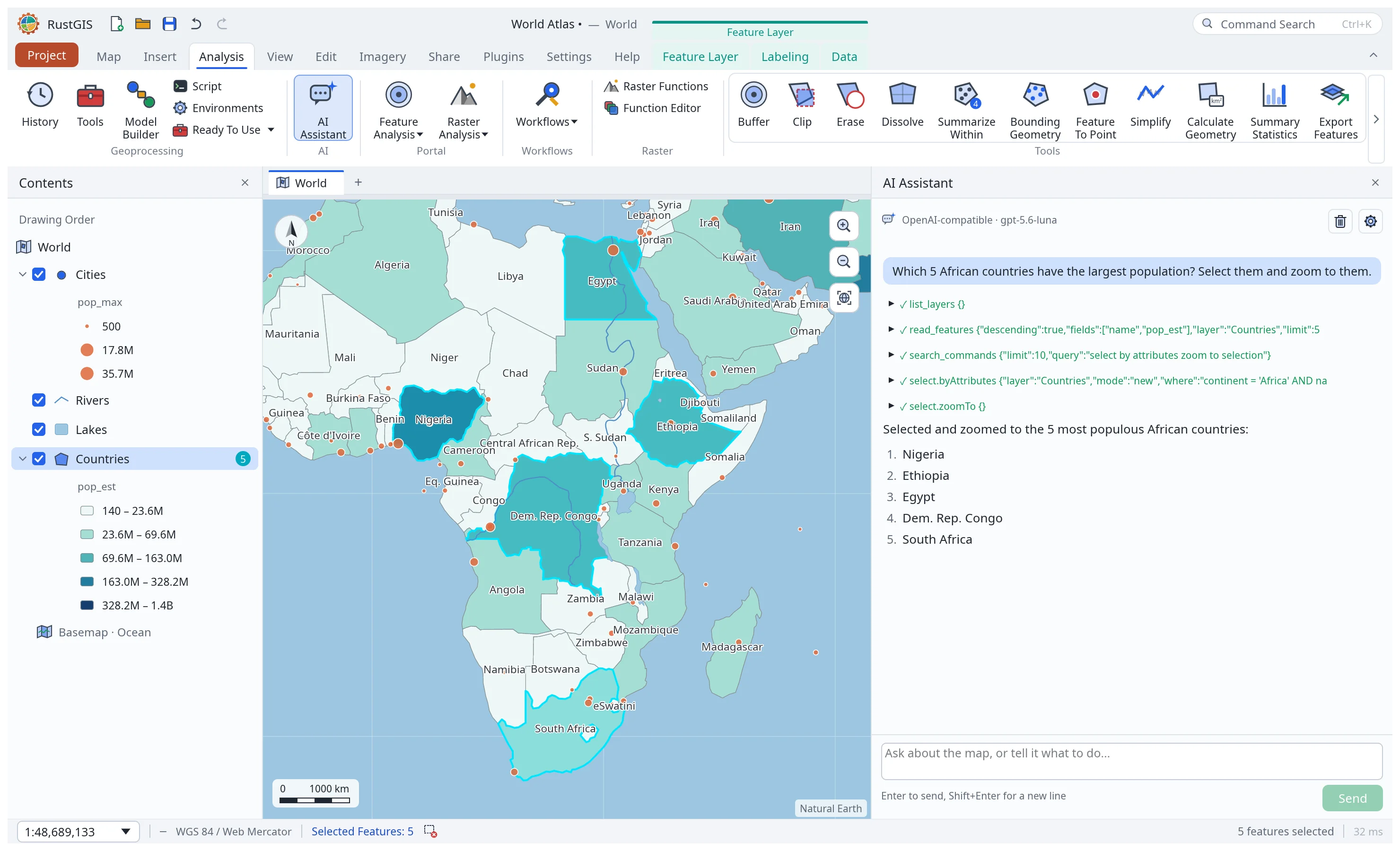 Screenshot unavailable. RustGIS: map and assistant query results.
Compatibility and scope
Status and compatibility are maintainer-reported. Inclusion is not an independent verification or certification.
- Development status
- Experimental
- Compatibility
- Partial (claimed)
- Languages
- Rust
- Platforms
- Windows, macOS, Linux, Web
- License
- Apache-2.0
Known limitations
A broader GIS alternative, not a full ArcGIS replacement. Many features are first implementations; full 3D scenes and enterprise portal sharing are unfinished. Native ArcGIS project and extension compatibility is not documented. Some data providers require GDAL or DuckDB; AI assistance sends selected data to the configured model.
Repository activity
- GitHub stars
- 2.1K
- Forks
- 304
- Last push
- Repository state
- Not archived
Last successful update:
GitHub statistics are refreshed approximately every 24 hours.
Badges
View Badges


